Screenshots
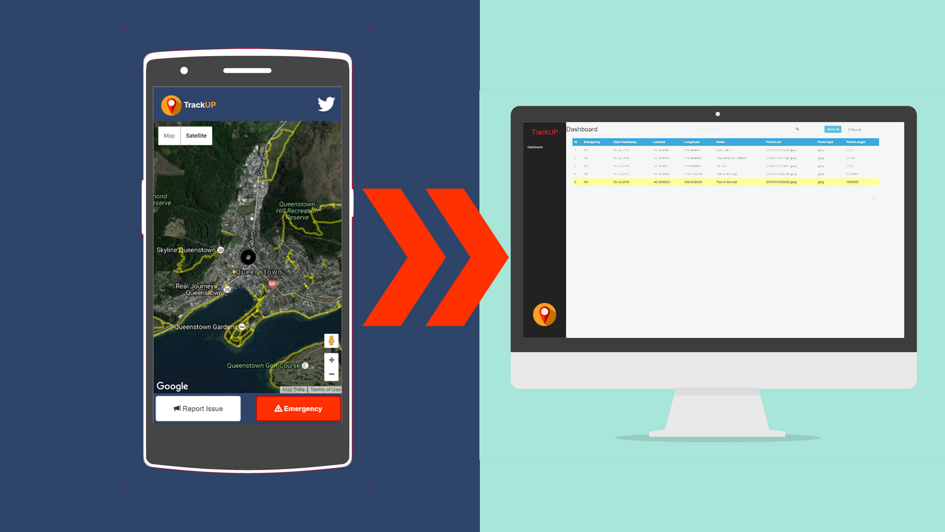
TrackUP provides real-time walking and cycle track availability and issue status, with an instant reporting tool for the public to inform the council.
Mark wants to Hike Ben Lomond track today. He pulls out his phone and checks the track stats - it all looks good!
An hour into the hike he notices there's been a significant mud-slippage. He quick snaps a picture, writes a few notes and carries on with his hike.
It used to be that Sarah would either have to send out contractors to check the state of the trails, or wait for residents to make a phone call. Now she receives live updates from actual trail users the moment they encounter a problem.
Quickly she can confirm the issue, and the track status is updated for all users of TrackUP and a Tweet sent out so anyone can be notified of changes. Another quick click, and the appropriate contractor is informed and the work scheduled. Onto the next thing!
While Mark is walking, he notices a region where the Wildling Pines are really taking hold. A quick snap of this camera, and once again the council are informed and can take cheap, quick preventative measures.
The weather turns quickly and Mark is trapped on the mountain, unable to see where to go. He hits the Emergency button on TrackUP allowing his coordinates to be immediately sent to the council where the situation can triaged, and help dispatched to his location. As a progressive web app, this will work in patchy coverage, able to send messages when a phone call may not be possible.
A Queenstown and Wanaka collection of developers with a passion in cracking code, and making the most of our beautiful location.
Jonathan Hollingsworth - Professional geek. Don't get stuck next to him at parties.
David Sherwin - FinTech and data background. Huge Baha Men fan.
Andreas Sjovall - Swedish tech craftsman. Bottomless stomach.
There are many uses for this engine beyond health reporting to tracks and trails. The same technology can be used for and location-based "Request For Service"
Thanks to the GPS tracking, the accompanying photo and some contextual information, the council are able to quickly respond to any potential issue that is reported by the public.
The ease of reporting encourages community engagement in the process, and the technology allows an easy and relevant feedback mechanism on the current state of issues in the local area. This council to community communication becomes automatic, relevant and accessible to all.